
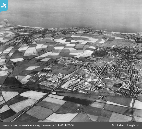
EAW010279 ENGLAND (1947). Development around Billy Mill and environs, West Chirton, from the south-west, 1947
© Copyright OpenStreetMap contributors and licensed by the OpenStreetMap Foundation. 2026. Cartography is licensed as CC BY-SA.
Nearby Images (2)
EAW010279

EAW010289

Details
| Title | [EAW010279] Development around Billy Mill and environs, West Chirton, from the south-west, 1947 |
| Reference | EAW010279 |
| Date | 24-August-1947 |
| Link | |
| Place name | WEST CHIRTON |
| Parish | |
| District | |
| Country | ENGLAND |
| Easting / Northing | 432933, 568495 |
| Longitude / Latitude | -1.4849903928399, 55.009851119698 |
| National Grid Reference | NZ329685 |
Pins
Be the first to add a comment to this image!