
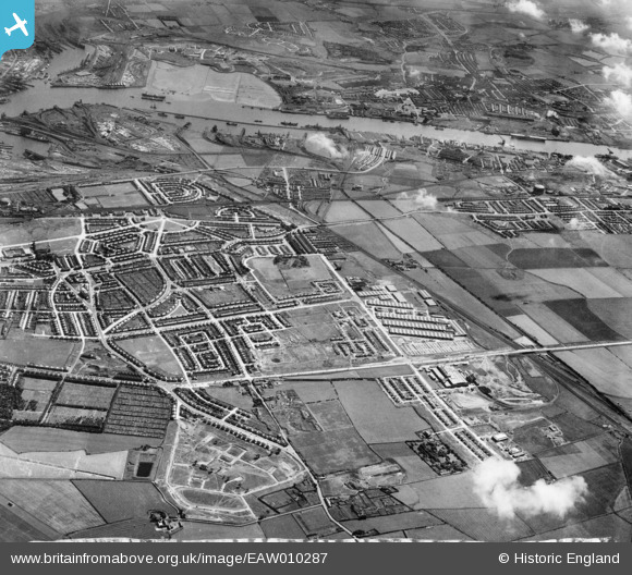
EAW010287 ENGLAND (1947). Development around West Chirton and Billy Mill, West Chirton, from the north, 1947
© Copyright OpenStreetMap contributors and licensed by the OpenStreetMap Foundation. 2026. Cartography is licensed as CC BY-SA.
Nearby Images (9)
EAW010287

EAW010280

EAW010286

EAW010294

EAW010293

EAW010288

EAW010284

EAW010290

EAW010296

Details
| Title | [EAW010287] Development around West Chirton and Billy Mill, West Chirton, from the north, 1947 |
| Reference | EAW010287 |
| Date | 24-August-1947 |
| Link | |
| Place name | WEST CHIRTON |
| Parish | |
| District | |
| Country | ENGLAND |
| Easting / Northing | 433520, 568841 |
| Longitude / Latitude | -1.4757706936425, 55.012921367499 |
| National Grid Reference | NZ335688 |
Pins

reaper |
Monday 22nd of April 2019 08:46:34 PM | |
|
reaper |
Monday 22nd of April 2019 08:45:25 PM | |
|
reaper |
Monday 22nd of April 2019 08:44:51 PM | |
|
reaper |
Monday 22nd of April 2019 08:44:22 PM | |
|
reaper |
Monday 22nd of April 2019 08:43:55 PM | |
|
reaper |
Monday 22nd of April 2019 08:43:31 PM | |
|
reaper |
Monday 22nd of April 2019 08:42:30 PM | |
|
reaper |
Monday 22nd of April 2019 08:42:06 PM | |
|
reaper |
Monday 22nd of April 2019 08:41:35 PM | |
|
reaper |
Monday 22nd of April 2019 08:33:47 PM | |
|
reaper |
Monday 22nd of April 2019 08:32:59 PM |