
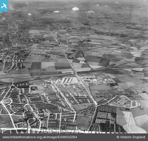
EAW010284 ENGLAND (1947). Development around West Chirton and Billy Mill, West Chirton, from the east, 1947
© Copyright OpenStreetMap contributors and licensed by the OpenStreetMap Foundation. 2026. Cartography is licensed as CC BY-SA.
Nearby Images (7)
EAW010284

EAW010293

EAW010285

EAW010294

EAW010286

EAW010280

EAW010287

Details
| Title | [EAW010284] Development around West Chirton and Billy Mill, West Chirton, from the east, 1947 |
| Reference | EAW010284 |
| Date | 24-August-1947 |
| Link | |
| Place name | WEST CHIRTON |
| Parish | |
| District | |
| Country | ENGLAND |
| Easting / Northing | 433758, 568907 |
| Longitude / Latitude | -1.472040923674, 55.013498407107 |
| National Grid Reference | NZ338689 |
Pins
Be the first to add a comment to this image!