
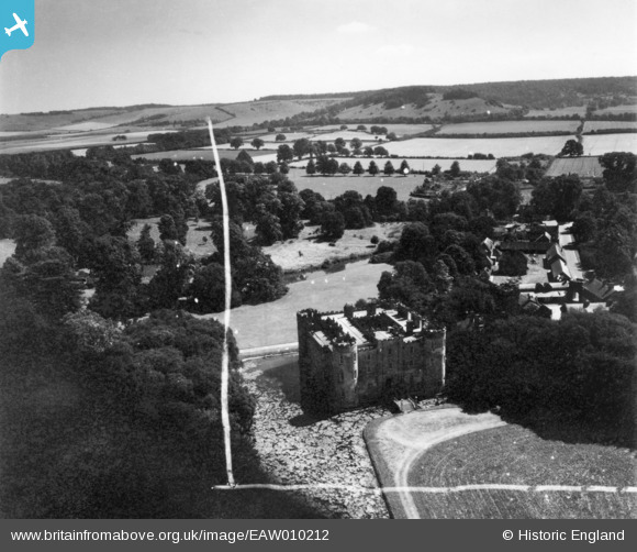
EAW010212 ENGLAND (1947). Shirburn Castle, Shirburn, from the north-west, 1947. This image has been produced from a print marked by Aerofilms Ltd for photo-editing.
© Copyright OpenStreetMap contributors and licensed by the OpenStreetMap Foundation. 2026. Cartography is licensed as CC BY-SA.
Nearby Images (14)
EAW010212

EAW049272

EAW010210

EAW013604

EAW013603

EAW013600

EAW010211

EAW013602

EAW010208

EAW049271

EAW010209

EAW010213

EAW010207

EAW013601

Details
| Title | [EAW010212] Shirburn Castle, Shirburn, from the north-west, 1947. This image has been produced from a print marked by Aerofilms Ltd for photo-editing. |
| Reference | EAW010212 |
| Date | 29-August-1947 |
| Link | |
| Place name | SHIRBURN |
| Parish | SHIRBURN |
| District | |
| Country | ENGLAND |
| Easting / Northing | 469637, 196003 |
| Longitude / Latitude | -0.99317513988303, 51.658028426383 |
| National Grid Reference | SU696960 |
Pins
Be the first to add a comment to this image!