
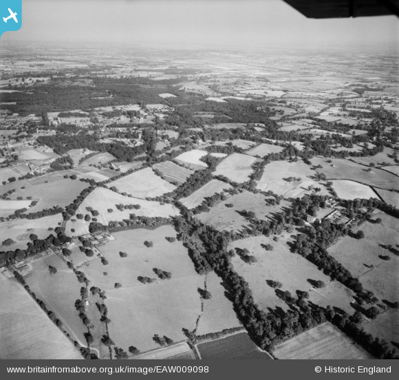
EAW009098 ENGLAND (1947). Countryside surrounding Mascalls Lane and Great Ropers Lane, Warley, from the north-west, 1947
© Copyright OpenStreetMap contributors and licensed by the OpenStreetMap Foundation. 2025. Cartography is licensed as CC BY-SA.
Nearby Images (3)
EAW009098

EAW009097

EAW009091

Details
| Title | [EAW009098] Countryside surrounding Mascalls Lane and Great Ropers Lane, Warley, from the north-west, 1947 |
| Reference | EAW009098 |
| Date | 14-August-1947 |
| Link | |
| Place name | WARLEY |
| Parish | |
| District | |
| Country | ENGLAND |
| Easting / Northing | 557792, 191959 |
| Longitude / Latitude | 0.27878068180001, 51.603859401641 |
| National Grid Reference | TQ578920 |
Pins
Be the first to add a comment to this image!