
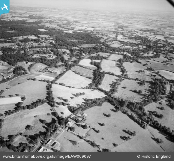
EAW009097 ENGLAND (1947). Countryside surrounding Dark Lane, Mascalls Lane and Bachelor's Walk, Warley, from the north-west, 1947
© Copyright OpenStreetMap contributors and licensed by the OpenStreetMap Foundation. 2025. Cartography is licensed as CC BY-SA.
Nearby Images (3)
EAW009097

EAW009091

EAW009098

Details
| Title | [EAW009097] Countryside surrounding Dark Lane, Mascalls Lane and Bachelor's Walk, Warley, from the north-west, 1947 |
| Reference | EAW009097 |
| Date | 14-August-1947 |
| Link | |
| Place name | WARLEY |
| Parish | |
| District | |
| Country | ENGLAND |
| Easting / Northing | 557995, 192046 |
| Longitude / Latitude | 0.28174904267636, 51.604584192563 |
| National Grid Reference | TQ580920 |
Pins
Be the first to add a comment to this image!