
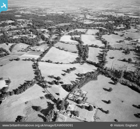
EAW009091 ENGLAND (1947). Countryside surrounding Dark Lane, Mascalls Lane and Bachelor's Walk, Warley, from the north-west, 1947
© Copyright OpenStreetMap contributors and licensed by the OpenStreetMap Foundation. 2025. Cartography is licensed as CC BY-SA.
Nearby Images (3)
EAW009091

EAW009097

EAW009098

Details
| Title | [EAW009091] Countryside surrounding Dark Lane, Mascalls Lane and Bachelor's Walk, Warley, from the north-west, 1947 |
| Reference | EAW009091 |
| Date | 14-August-1947 |
| Link | |
| Place name | WARLEY |
| Parish | |
| District | |
| Country | ENGLAND |
| Easting / Northing | 558040, 192060 |
| Longitude / Latitude | 0.28240468373926, 51.604697356937 |
| National Grid Reference | TQ580921 |
Pins

coldnebraskablue |
Friday 8th of July 2016 12:18:39 PM | |
|
coldnebraskablue |
Friday 8th of July 2016 12:11:40 PM | |
|
coldnebraskablue |
Friday 8th of July 2016 12:02:46 PM |