
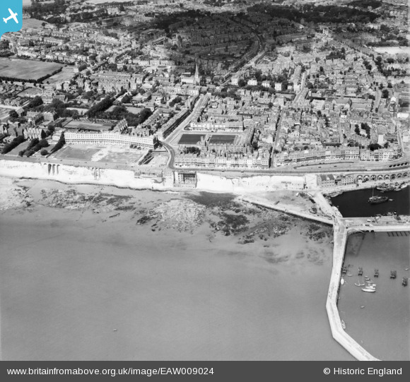
EAW009024 ENGLAND (1947). West Cliff, Royal Crescent and the surrounding area, Ramsgate, 1947
© Copyright OpenStreetMap contributors and licensed by the OpenStreetMap Foundation. 2026. Cartography is licensed as CC BY-SA.
Nearby Images (12)
EAW009024

EPW013301

EPW000081

EPW000601

EAW696658

EPW000094

EAW009023

EPW052885

EAW020488

EPW035451

EPW000090

EAW006626

Details
| Title | [EAW009024] West Cliff, Royal Crescent and the surrounding area, Ramsgate, 1947 |
| Reference | EAW009024 |
| Date | 12-August-1947 |
| Link | |
| Place name | RAMSGATE |
| Parish | RAMSGATE |
| District | |
| Country | ENGLAND |
| Easting / Northing | 637997, 164410 |
| Longitude / Latitude | 1.4166797886018, 51.328396136033 |
| National Grid Reference | TR380644 |
Pins

Matt Aldred edob.mattaldred.com |
Tuesday 7th of July 2026 05:00:59 PM | |

CatherineE |
Wednesday 14th of September 2022 06:33:07 PM | |
|
Christopher Tipping |
Sunday 16th of May 2021 08:37:18 PM | |
|
Matt Aldred edob.mattaldred.com |
Thursday 11th of March 2021 04:46:11 PM | |
|
Matt Aldred edob.mattaldred.com |
Thursday 11th of March 2021 04:45:32 PM | |

Sparky |
Thursday 6th of July 2017 09:27:16 PM | |
|
Sparky |
Thursday 6th of July 2017 09:25:55 PM | |
|
cptpies |
Thursday 28th of November 2013 10:45:21 AM |
User Comment Contributions

Ramsgate Harbour pillboxes. |
cptpies |
Thursday 19th of December 2013 01:55:45 PM |