
EAW008807 ENGLAND (1947). The docks, Southampton, from the south, 1947

© Copyright OpenStreetMap contributors and licensed by the OpenStreetMap Foundation. 2026. Cartography is licensed as CC BY-SA.
Nearby Images (15)
EAW008807

EPW039726

EAW033408

EAW051596

EPW041068

EPW020456

EAW033430

EAW035242

EPW020457

EPW037410

EAW051595

EAW033409

EAW033431

EPW009068

EAW035243

Details
| Title | [EAW008807] The docks, Southampton, from the south, 1947 |
| Reference | EAW008807 |
| Date | 9-August-1947 |
| Link | |
| Place name | SOUTHAMPTON |
| Parish | |
| District | |
| Country | ENGLAND |
| Easting / Northing | 442606, 109467 |
| Longitude / Latitude | -1.3942811970493, 50.882566608391 |
| National Grid Reference | SU426095 |
Pins

redmist |
Thursday 8th of December 2022 09:12:42 PM | |
|
redmist |
Thursday 8th of December 2022 09:11:51 PM | |
|
redmist |
Thursday 8th of December 2022 09:10:17 PM | |
|
wervano |
Sunday 26th of June 2022 01:19:39 PM | |
|
wervano |
Sunday 26th of June 2022 01:18:52 PM | |
|
wervano |
Sunday 26th of June 2022 01:18:33 PM | |
|
brianbeckett |
Wednesday 3rd of August 2016 08:37:11 PM |
User Comment Contributions
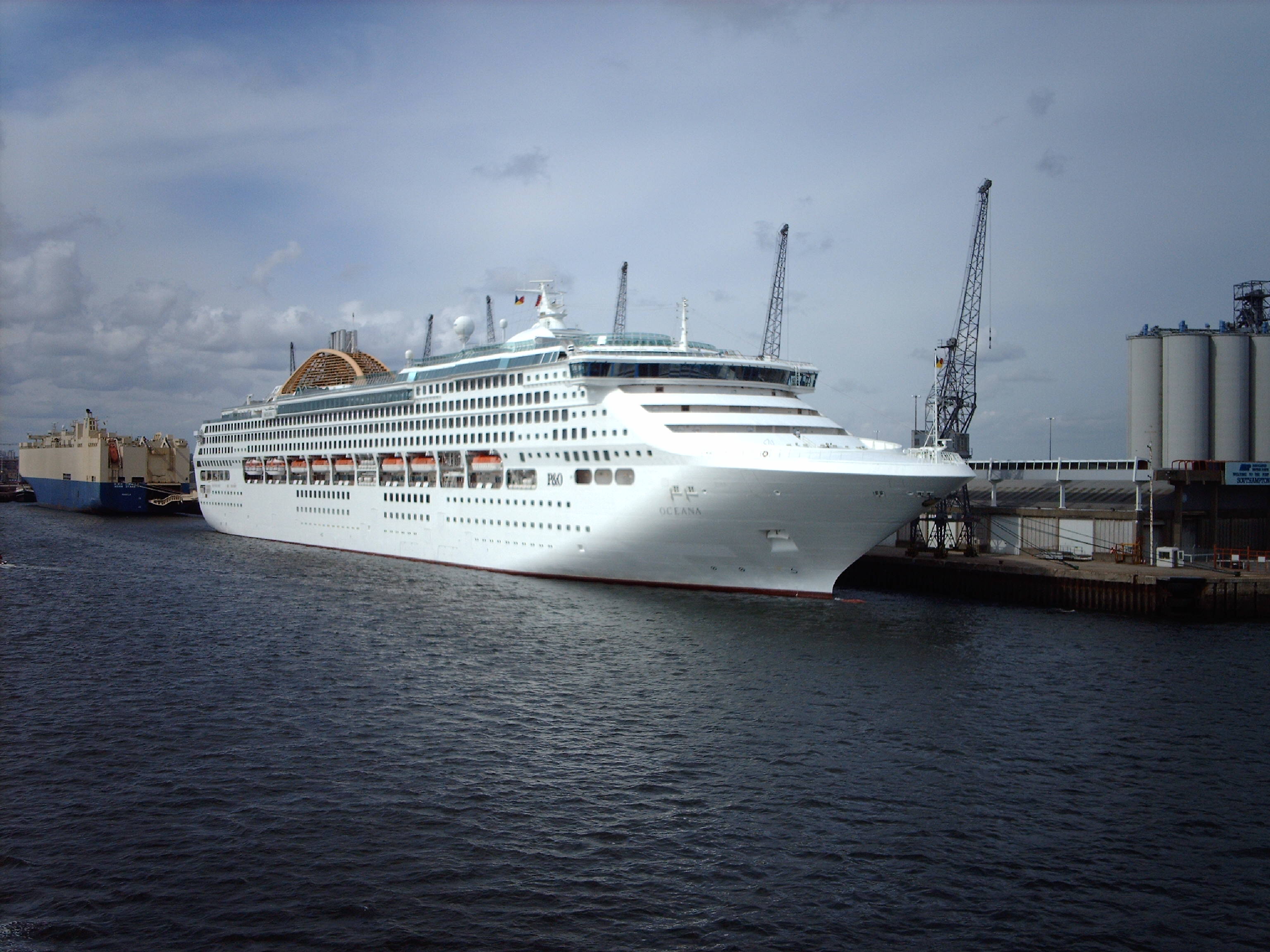
Oceana, Southampton, 08/07/2006 |

Class31 |
Monday 16th of February 2015 04:55:59 PM |