
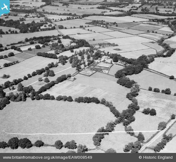
EAW008549 ENGLAND (1947). Raby Vale and surrounding countryside, Thornton Hough, 1947. This image was marked by Aerofilms Ltd for photo editing.
© Copyright OpenStreetMap contributors and licensed by the OpenStreetMap Foundation. 2026. Cartography is licensed as CC BY-SA.
Nearby Images (7)
EAW008549

EAW008546

EAW008545
 and surrounding countryside, Thornton Hough, from the east, 1947")
EAW008547

EAW008551

EAW008550

EAW008548

Details
| Title | [EAW008549] Raby Vale and surrounding countryside, Thornton Hough, 1947. This image was marked by Aerofilms Ltd for photo editing. |
| Reference | EAW008549 |
| Date | 27-July-1947 |
| Link | |
| Place name | THORNTON HOUGH |
| Parish | |
| District | |
| Country | ENGLAND |
| Easting / Northing | 331612, 380661 |
| Longitude / Latitude | -3.0267154734473, 53.318184399973 |
| National Grid Reference | SJ316807 |
Pins

Ferrers |
Wednesday 13th of March 2024 04:21:09 PM |