
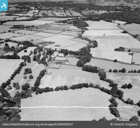
EAW008547 ENGLAND (1947). Raby Vale and surrounding countryside, Thornton Hough, 1947. This image was marked by Aerofilms Ltd for photo editing.
© Copyright OpenStreetMap contributors and licensed by the OpenStreetMap Foundation. 2026. Cartography is licensed as CC BY-SA.
Nearby Images (7)
EAW008547

EAW008546

EAW008545
 and surrounding countryside, Thornton Hough, from the east, 1947")
EAW008549

EAW008551

EAW008550

EAW008548

Details
| Title | [EAW008547] Raby Vale and surrounding countryside, Thornton Hough, 1947. This image was marked by Aerofilms Ltd for photo editing. |
| Reference | EAW008547 |
| Date | 27-July-1947 |
| Link | |
| Place name | THORNTON HOUGH |
| Parish | |
| District | |
| Country | ENGLAND |
| Easting / Northing | 331701, 380667 |
| Longitude / Latitude | -3.0253808354767, 53.31824981959 |
| National Grid Reference | SJ317807 |
Pins
Be the first to add a comment to this image!