
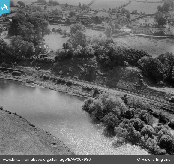
EAW007986 ENGLAND (1947). The River Wye and Clifford Castle, Clifford, 1947
© Copyright OpenStreetMap contributors and licensed by the OpenStreetMap Foundation. 2025. Cartography is licensed as CC BY-SA.
Nearby Images (6)
EAW007986

EAW007987

EAW007988

EAW007984

EAW007985

EPW038176

Details
| Title | [EAW007986] The River Wye and Clifford Castle, Clifford, 1947 |
| Reference | EAW007986 |
| Date | 30-June-1947 |
| Link | |
| Place name | CLIFFORD |
| Parish | CLIFFORD |
| District | |
| Country | ENGLAND |
| Easting / Northing | 324349, 245714 |
| Longitude / Latitude | -3.1046607633852, 52.104166105152 |
| National Grid Reference | SO243457 |
Pins

Dr. David Woods |
Friday 5th of February 2016 11:10:36 PM |
