
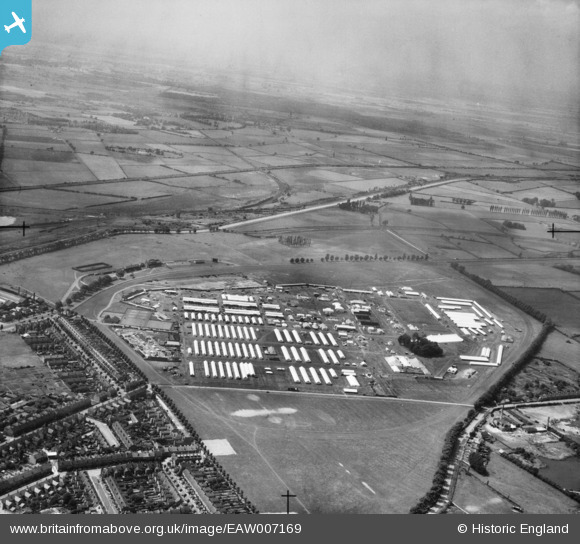
EAW007169 ENGLAND (1947). The Royal Agricultural Show Ground at West Common and environs, Lincoln, from the north-east, 1947
© Copyright OpenStreetMap contributors and licensed by the OpenStreetMap Foundation. 2026. Cartography is licensed as CC BY-SA.
Nearby Images (7)
EAW007169

EAW007172

EAW015714

EAW007168

EAW007181

EAW015712

EAW007167

Details
| Title | [EAW007169] The Royal Agricultural Show Ground at West Common and environs, Lincoln, from the north-east, 1947 |
| Reference | EAW007169 |
| Date | 25-June-1947 |
| Link | |
| Place name | LINCOLN |
| Parish | |
| District | |
| Country | ENGLAND |
| Easting / Northing | 496469, 372153 |
| Longitude / Latitude | -0.55441042722203, 53.237351644215 |
| National Grid Reference | SK965722 |
Pins

redmist |
Thursday 17th of March 2022 10:04:03 PM | |
|
David |
Tuesday 31st of March 2020 10:02:04 AM | |
|
redmist |
Tuesday 30th of July 2019 01:07:19 PM | |
|
Ian |
Sunday 1st of December 2013 04:11:40 PM | |
|
Ian |
Sunday 1st of December 2013 04:08:34 PM | |
|
Ian |
Sunday 1st of December 2013 04:03:07 PM | |
|
Ian |
Sunday 1st of December 2013 04:00:56 PM | |
|
Ian |
Sunday 1st of December 2013 03:48:50 PM |