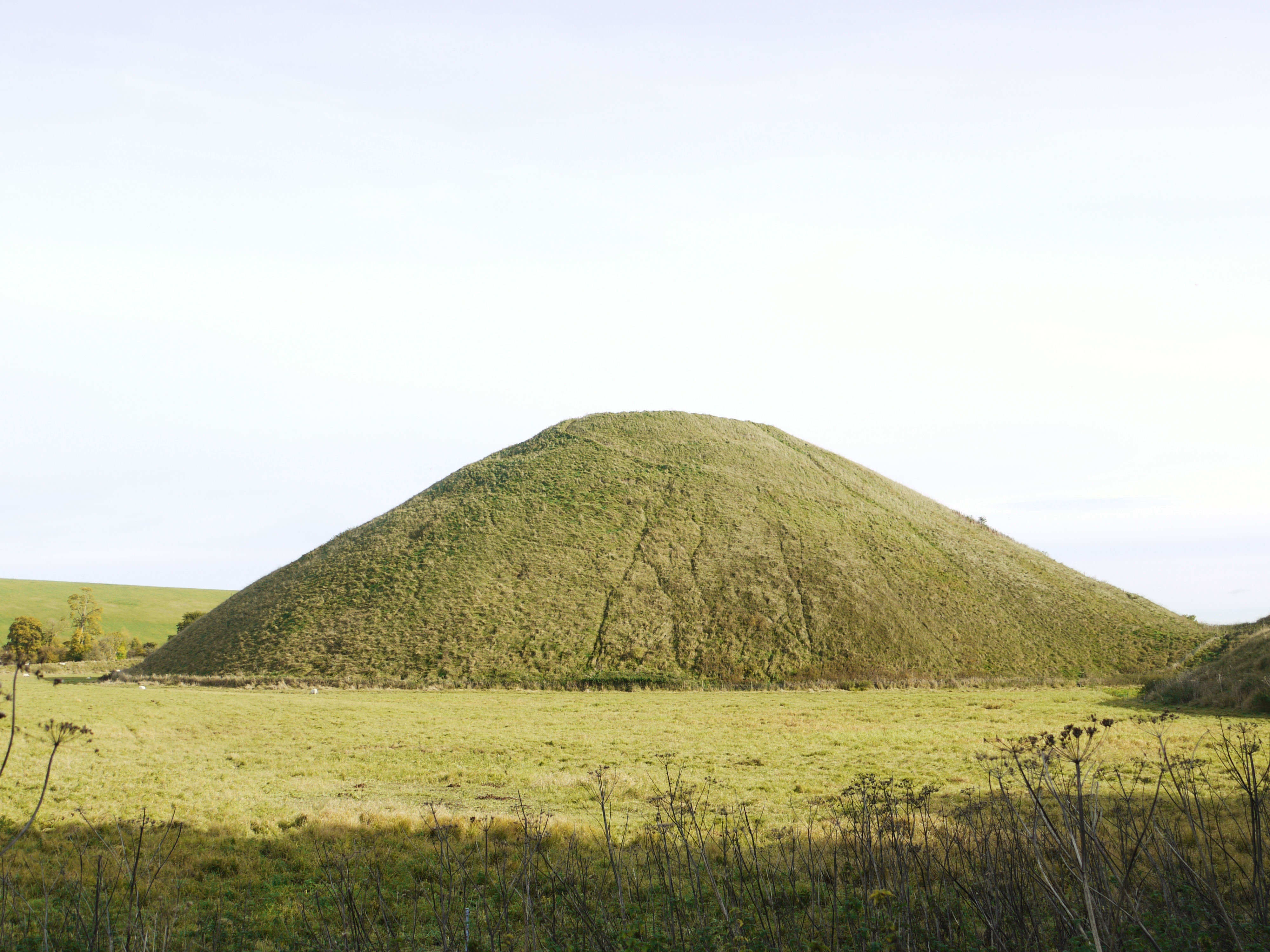
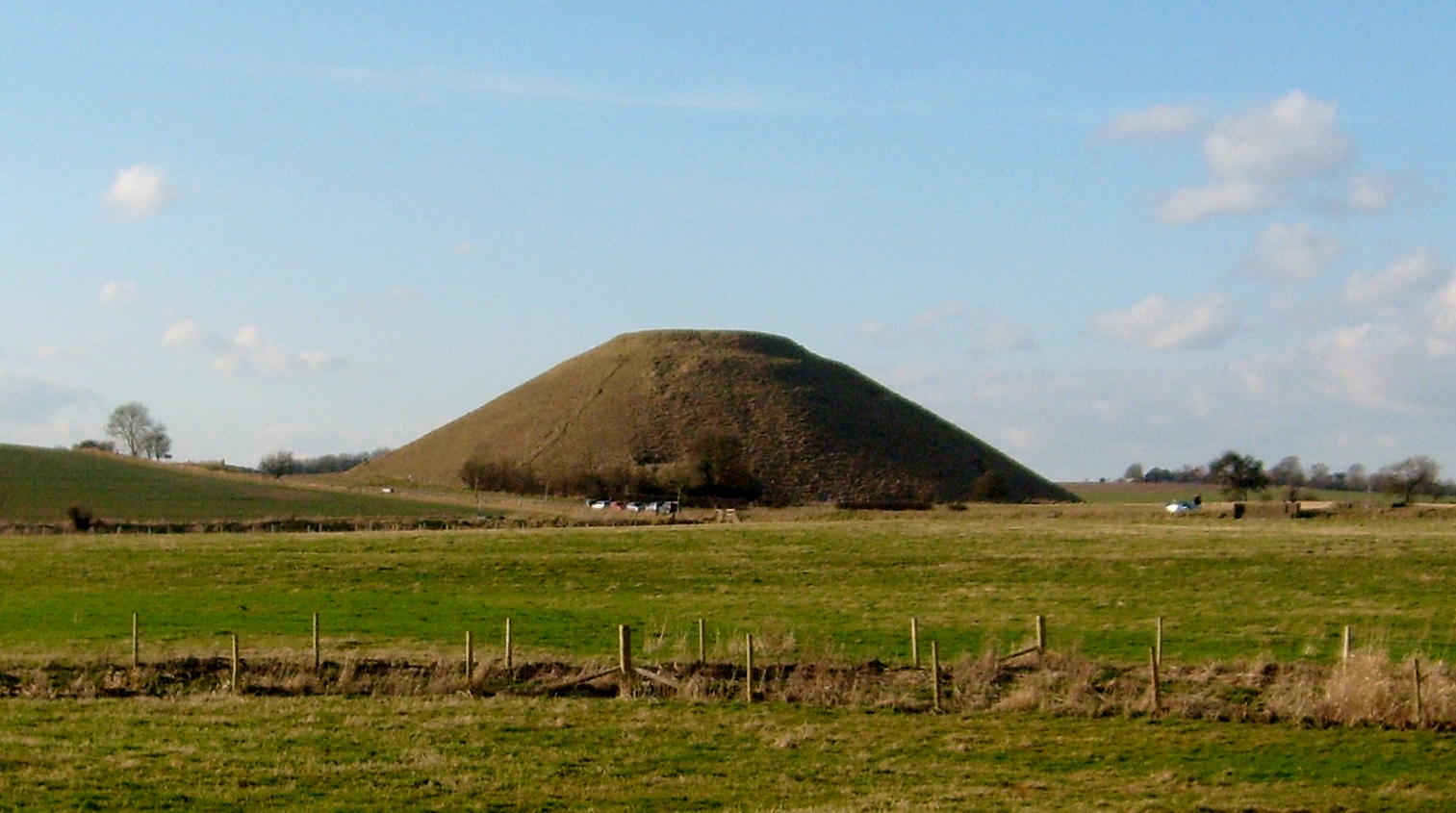
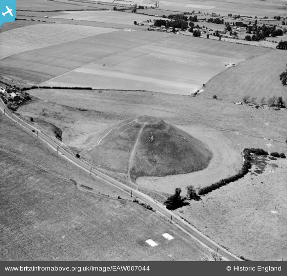
EAW007044 ENGLAND (1947). Silbury Hill, Avebury, 1947
© Copyright OpenStreetMap contributors and licensed by the OpenStreetMap Foundation. 2026. Cartography is licensed as CC BY-SA.
Nearby Images (13)
EAW007044

EAW049149

EAW034892

EAW034893

EAW007045

EAW034891

EAW034894

EAW034895

EAW034896

EAW007043

EAW049150

EAW049148

EAW002275

Details
| Title | [EAW007044] Silbury Hill, Avebury, 1947 |
| Reference | EAW007044 |
| Date | 11-June-1947 |
| Link | |
| Place name | AVEBURY |
| Parish | AVEBURY |
| District | |
| Country | ENGLAND |
| Easting / Northing | 410032, 168504 |
| Longitude / Latitude | -1.8557276155795, 51.414971759523 |
| National Grid Reference | SU100685 |
Pins

HeyBert |
Thursday 19th of February 2026 02:23:16 PM | |
|
HeyBert |
Thursday 19th of February 2026 02:22:50 PM | |
|
HeyBert |
Thursday 19th of February 2026 02:22:09 PM | |
|
Vauni |
Tuesday 5th of February 2019 02:26:15 PM |