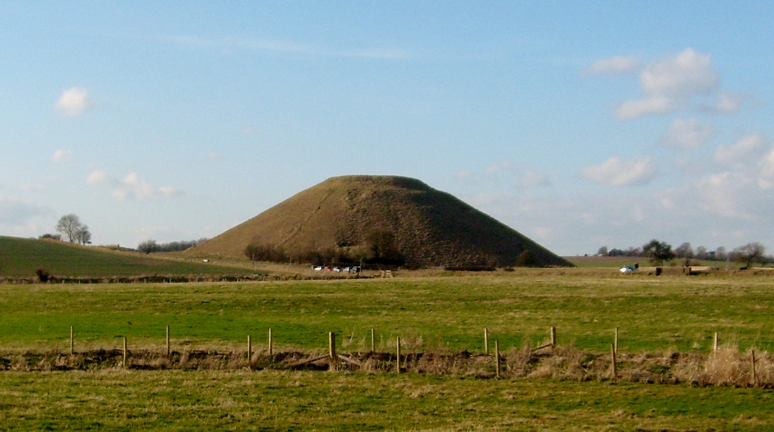
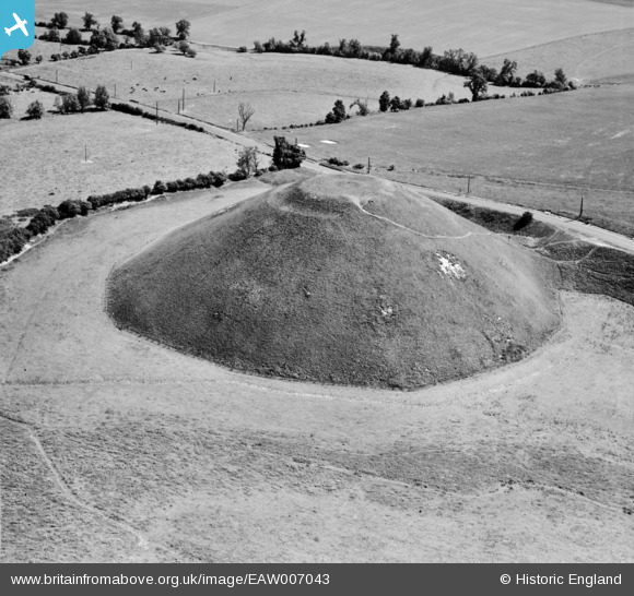
EAW007043 ENGLAND (1947). Silbury Hill, Avebury, 1947
© Copyright OpenStreetMap contributors and licensed by the OpenStreetMap Foundation. 2026. Cartography is licensed as CC BY-SA.
Nearby Images (13)
EAW007043

EAW034895

EAW034896

EAW034894

EAW049149

EAW034893

EAW007045

EAW034892

EAW002275

EAW034891

EAW007044

EAW049148

EAW049150

Details
| Title | [EAW007043] Silbury Hill, Avebury, 1947 |
| Reference | EAW007043 |
| Date | 11-June-1947 |
| Link | |
| Place name | AVEBURY |
| Parish | AVEBURY |
| District | |
| Country | ENGLAND |
| Easting / Northing | 409967, 168569 |
| Longitude / Latitude | -1.8566605635968, 51.415557425902 |
| National Grid Reference | SU100686 |
Pins
Be the first to add a comment to this image!