
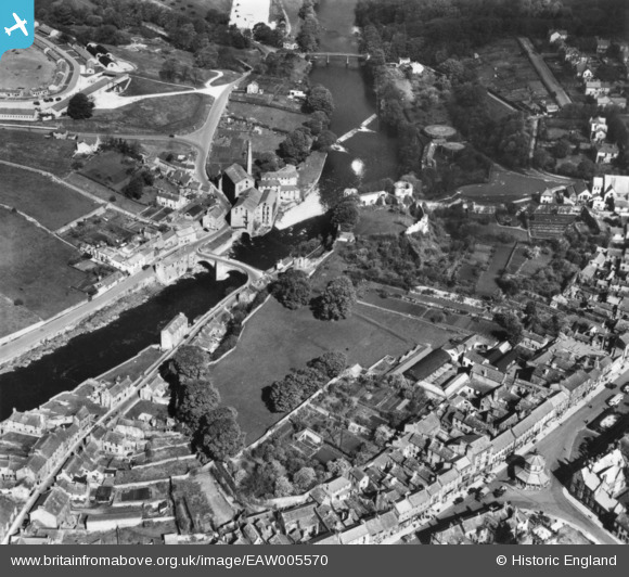
EAW005570 ENGLAND (1947). The castle ruins and environs, Barnard Castle, 1947. This image has been produced from a print.
© Copyright OpenStreetMap contributors and licensed by the OpenStreetMap Foundation. 2026. Cartography is licensed as CC BY-SA.
Nearby Images (9)
EAW005570

EAW005566

EAW005568

EPW019871

EAW005567

EAW005569

EPW019872

EPW019875

EPW019874

Details
| Title | [EAW005570] The castle ruins and environs, Barnard Castle, 1947. This image has been produced from a print. |
| Reference | EAW005570 |
| Date | 17-May-1947 |
| Link | |
| Place name | BARNARD CASTLE |
| Parish | BARNARD CASTLE |
| District | |
| Country | ENGLAND |
| Easting / Northing | 404868, 516384 |
| Longitude / Latitude | -1.9247464250662, 54.542567252618 |
| National Grid Reference | NZ049164 |
Pins

J May |
Monday 4th of September 2017 03:22:39 PM | |
|
MB |
Saturday 8th of October 2016 10:48:28 PM | |

Class31 |
Tuesday 11th of November 2014 05:19:11 PM | |
|
Class31 |
Tuesday 11th of November 2014 05:17:11 PM | |
|
Class31 |
Monday 29th of September 2014 10:56:19 PM |


User Comment Contributions

The castle ruins, Barnard Castle , June or July 1939 |
Class31 |
Tuesday 11th of November 2014 05:18:09 PM |