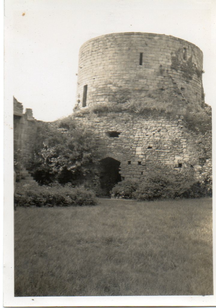
EAW005567 ENGLAND (1947). The castle ruins and environs, Barnard Castle, 1947

© Copyright OpenStreetMap contributors and licensed by the OpenStreetMap Foundation. 2026. Cartography is licensed as CC BY-SA.
Nearby Images (9)
EAW005567

EPW019871

EAW005566

EAW005569

EAW005568

EAW005570

EPW019872

EPW019874

EPW019875

Details
| Title | [EAW005567] The castle ruins and environs, Barnard Castle, 1947 |
| Reference | EAW005567 |
| Date | 17-May-1947 |
| Link | |
| Place name | BARNARD CASTLE |
| Parish | BARNARD CASTLE |
| District | |
| Country | ENGLAND |
| Easting / Northing | 404851, 516458 |
| Longitude / Latitude | -1.9250080052906, 54.543232519703 |
| National Grid Reference | NZ049165 |