
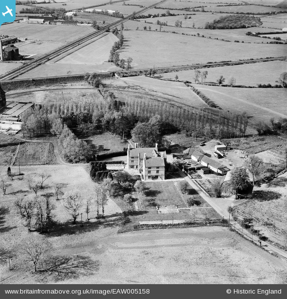
EAW005158 ENGLAND (1947). Sydenham Manor, Bridgwater, 1947
© Copyright OpenStreetMap contributors and licensed by the OpenStreetMap Foundation. 2026. Cartography is licensed as CC BY-SA.
Nearby Images (16)
EAW005158

EAW005149

EAW005156

EAW005157

EAW051129

EAW005154

EAW005155

EAW005150

EAW005147

EAW051131

EAW005143

EAW005152

EAW005142

EAW051134

EAW051133

EAW005146

Details
| Title | [EAW005158] Sydenham Manor, Bridgwater, 1947 |
| Reference | EAW005158 |
| Date | 7-September-1947 |
| Link | |
| Place name | BRIDGWATER |
| Parish | BRIDGWATER |
| District | |
| Country | ENGLAND |
| Easting / Northing | 331114, 138408 |
| Longitude / Latitude | -2.9847838105638, 51.14026606718 |
| National Grid Reference | ST311384 |
Pins

totoro |
Thursday 3rd of October 2013 10:23:05 PM | |
|
totoro |
Thursday 3rd of October 2013 10:22:16 PM | |
|
totoro |
Thursday 3rd of October 2013 10:20:27 PM | |
|
totoro |
Thursday 3rd of October 2013 10:11:42 PM |