
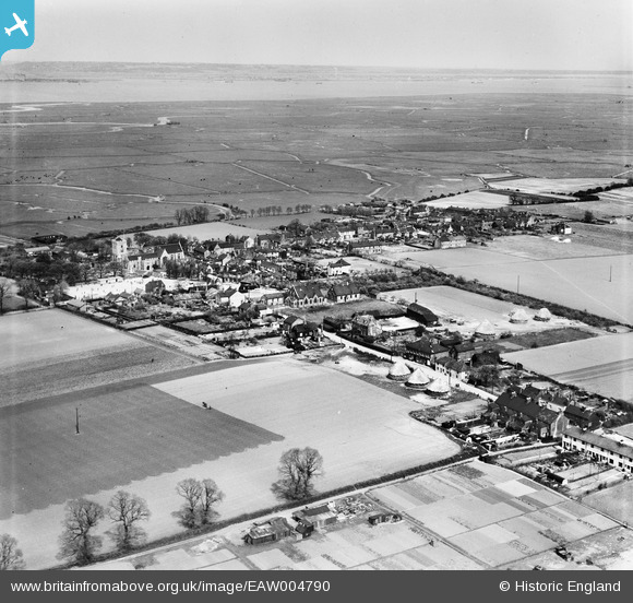
EAW004790 ENGLAND (1947). The village and the marshes, Cliffe, from the south-west, 1947
© Copyright OpenStreetMap contributors and licensed by the OpenStreetMap Foundation. 2026. Cartography is licensed as CC BY-SA.
Nearby Images (5)
EAW004790

EAW004789

EAW004786

EAW004783

EAW004785

Details
| Title | [EAW004790] The village and the marshes, Cliffe, from the south-west, 1947 |
| Reference | EAW004790 |
| Date | April-1947 |
| Link | |
| Place name | CLIFFE |
| Parish | CLIFFE AND CLIFFE WOODS |
| District | |
| Country | ENGLAND |
| Easting / Northing | 573485, 176345 |
| Longitude / Latitude | 0.49749938844328, 51.458969224432 |
| National Grid Reference | TQ735763 |
Pins
Be the first to add a comment to this image!