
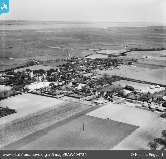
EAW004789 ENGLAND (1947). The village and the marshes, Cliffe, from the south-west, 1947
© Copyright OpenStreetMap contributors and licensed by the OpenStreetMap Foundation. 2026. Cartography is licensed as CC BY-SA.
Nearby Images (8)
EAW004789

EAW004786

EAW004790

EAW004785

EAW004784

EAW004787

EAW004788

EAW004783

Details
| Title | [EAW004789] The village and the marshes, Cliffe, from the south-west, 1947 |
| Reference | EAW004789 |
| Date | April-1947 |
| Link | |
| Place name | CLIFFE |
| Parish | CLIFFE AND CLIFFE WOODS |
| District | |
| Country | ENGLAND |
| Easting / Northing | 573494, 176423 |
| Longitude / Latitude | 0.49766709257974, 51.4596672193 |
| National Grid Reference | TQ735764 |
Pins

Kentishman |
Sunday 6th of March 2016 02:28:35 PM | |
|
Kentishman |
Sunday 6th of March 2016 02:26:24 PM | |
|
Kentishman |
Sunday 6th of March 2016 02:23:32 PM | |
|
Kentishman |
Wednesday 17th of February 2016 06:30:24 PM | |
|
Kentishman |
Wednesday 10th of February 2016 10:52:38 AM |