
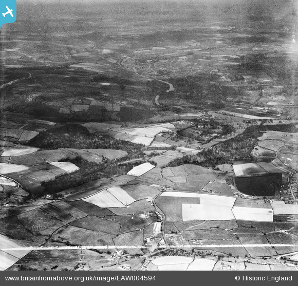
EAW004594 ENGLAND (1947). Whitley Reservior, Whitley Wood, the River Calder and surrounding countryside, Mirfield, from the south-east, 1947. This image was marked by Aerofilms Ltd for photo editing.
© Copyright OpenStreetMap contributors and licensed by the OpenStreetMap Foundation. 2025. Cartography is licensed as CC BY-SA.
Nearby Images (3)
EAW004594

EAW006216

EAW004593

Details
| Title | [EAW004594] Whitley Reservior, Whitley Wood, the River Calder and surrounding countryside, Mirfield, from the south-east, 1947. This image was marked by Aerofilms Ltd for photo editing. |
| Reference | EAW004594 |
| Date | 17-April-1947 |
| Link | |
| Place name | MIRFIELD |
| Parish | MIRFIELD |
| District | |
| Country | ENGLAND |
| Easting / Northing | 421538, 417552 |
| Longitude / Latitude | -1.6740900934177, 53.653789490867 |
| National Grid Reference | SE215176 |
Pins

redmist |
Monday 5th of November 2018 07:45:20 PM |