
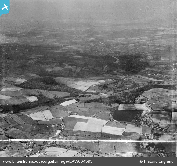
EAW004593 ENGLAND (1947). Whitley Reservior, Whitley Wood, the River Calder and surrounding countryside, Mirfield, from the south-east, 1947. This image was marked by Aerofilms Ltd for photo editing.
© Copyright OpenStreetMap contributors and licensed by the OpenStreetMap Foundation. 2025. Cartography is licensed as CC BY-SA.
Nearby Images (2)
EAW004593

EAW004594

Details
| Title | [EAW004593] Whitley Reservior, Whitley Wood, the River Calder and surrounding countryside, Mirfield, from the south-east, 1947. This image was marked by Aerofilms Ltd for photo editing. |
| Reference | EAW004593 |
| Date | 17-April-1947 |
| Link | |
| Place name | MIRFIELD |
| Parish | MIRFIELD |
| District | |
| Country | ENGLAND |
| Easting / Northing | 421583, 417779 |
| Longitude / Latitude | -1.673393400971, 53.655828157298 |
| National Grid Reference | SE216178 |
Pins

redmist |
Monday 5th of November 2018 07:43:32 PM |