
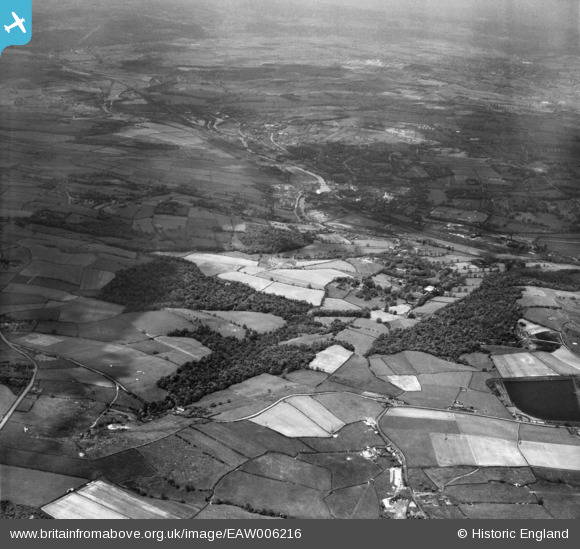
EAW006216 ENGLAND (1947). Gregory Spring, Whitley Wood and countryside around Woodbottom, Lower Hopton, from the south-east, 1947
© Copyright OpenStreetMap contributors and licensed by the OpenStreetMap Foundation. 2025. Cartography is licensed as CC BY-SA.
Nearby Images (2)
EAW006216

EAW004594

Details
| Title | [EAW006216] Gregory Spring, Whitley Wood and countryside around Woodbottom, Lower Hopton, from the south-east, 1947 |
| Reference | EAW006216 |
| Date | 25-May-1947 |
| Link | |
| Place name | LOWER HOPTON |
| Parish | MIRFIELD |
| District | |
| Country | ENGLAND |
| Easting / Northing | 421418, 417430 |
| Longitude / Latitude | -1.6759142945642, 53.652697750648 |
| National Grid Reference | SE214174 |
Pins

redmist |
Monday 11th of November 2019 11:22:59 PM |