
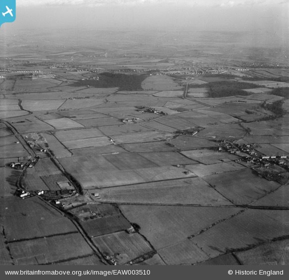
EAW003510 ENGLAND (1947). Fields between Stubbin Lane and Upper Haugh village, Upper Haugh, from the south-west, 1947
© Copyright OpenStreetMap contributors and licensed by the OpenStreetMap Foundation. 2026. Cartography is licensed as CC BY-SA.
Nearby Images (5)
EAW003510

EAW003496

EAW003495

EAW003509

EAW003497

Details
| Title | [EAW003510] Fields between Stubbin Lane and Upper Haugh village, Upper Haugh, from the south-west, 1947 |
| Reference | EAW003510 |
| Date | 12-January-1947 |
| Link | |
| Place name | UPPER HAUGH |
| Parish | |
| District | |
| Country | ENGLAND |
| Easting / Northing | 442242, 397314 |
| Longitude / Latitude | -1.3635528706023, 53.47061144399 |
| National Grid Reference | SK422973 |
Pins

PEELIAS |
Tuesday 3rd of March 2015 05:58:51 PM | |
|
PEELIAS |
Tuesday 3rd of March 2015 05:58:19 PM | |
|
PEELIAS |
Tuesday 3rd of March 2015 05:56:33 PM | |
|
PEELIAS |
Tuesday 3rd of March 2015 05:56:00 PM | |
|
PEELIAS |
Tuesday 3rd of March 2015 05:55:19 PM | |
|
PEELIAS |
Tuesday 3rd of March 2015 05:54:13 PM |