
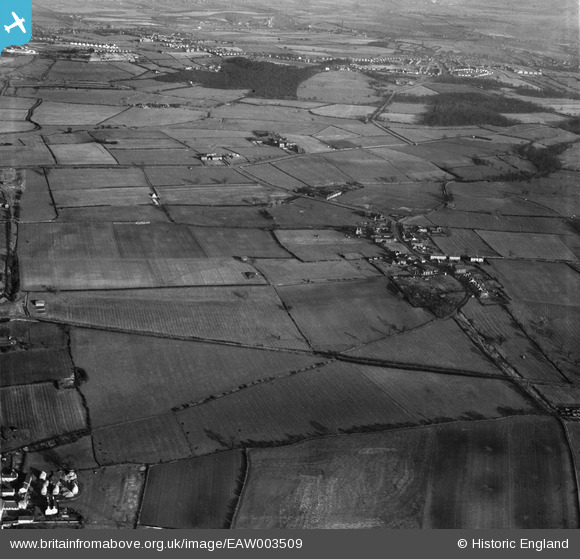
EAW003509 ENGLAND (1947). The village and surrounding countryside, Upper Haugh, 1947
© Copyright OpenStreetMap contributors and licensed by the OpenStreetMap Foundation. 2026. Cartography is licensed as CC BY-SA.
Nearby Images (4)
EAW003509

EAW003495

EAW003510

EAW003496

Details
| Title | [EAW003509] The village and surrounding countryside, Upper Haugh, 1947 |
| Reference | EAW003509 |
| Date | 12-January-1947 |
| Link | |
| Place name | UPPER HAUGH |
| Parish | |
| District | |
| Country | ENGLAND |
| Easting / Northing | 442420, 397366 |
| Longitude / Latitude | -1.3608641599546, 53.471064556713 |
| National Grid Reference | SK424974 |
Pins

KHMILLER |
Thursday 20th of May 2021 06:26:03 PM | |
|
KHMILLER |
Thursday 20th of May 2021 06:23:22 PM | |
|
KHMILLER |
Thursday 20th of May 2021 06:22:59 PM | |
|
PEELIAS |
Saturday 28th of February 2015 10:23:18 AM | |
My Schofield relatives were supposed to have built Waterloo kiln. There are bricklayers and potters in the family tree and they lived nearby, so I have no reason to dispute it. The story was handed down from my great grandad to my father, then to me. |
Aschofield |
Friday 11th of May 2018 05:21:03 PM |
|
PEELIAS |
Saturday 28th of February 2015 10:21:45 AM | |
|
PEELIAS |
Saturday 28th of February 2015 10:21:05 AM | |
|
PEELIAS |
Saturday 28th of February 2015 10:20:08 AM | |
|
PEELIAS |
Saturday 28th of February 2015 10:19:08 AM | |
|
PEELIAS |
Saturday 28th of February 2015 10:18:37 AM | |
|
PEELIAS |
Saturday 28th of February 2015 10:17:23 AM | |
|
PEELIAS |
Saturday 28th of February 2015 10:16:24 AM | |
|
PEELIAS |
Saturday 28th of February 2015 10:15:30 AM |