
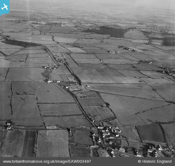
EAW003497 ENGLAND (1947). Stubbin Lane and surrounding countryside, Upper Haugh, 1947
© Copyright OpenStreetMap contributors and licensed by the OpenStreetMap Foundation. 2026. Cartography is licensed as CC BY-SA.
Nearby Images (3)
EAW003497

EAW003496

EAW003510

Details
| Title | [EAW003497] Stubbin Lane and surrounding countryside, Upper Haugh, 1947 |
| Reference | EAW003497 |
| Date | 12-January-1947 |
| Link | |
| Place name | UPPER HAUGH |
| Parish | |
| District | |
| Country | ENGLAND |
| Easting / Northing | 442123, 397492 |
| Longitude / Latitude | -1.3653218145495, 53.472221012463 |
| National Grid Reference | SK421975 |
Pins
Be the first to add a comment to this image!