
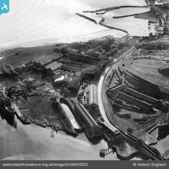
EAW003203 ENGLAND (1946). The Hartlepool Engine Works and the West Harbour, Hartlepool, 1946
© Copyright OpenStreetMap contributors and licensed by the OpenStreetMap Foundation. 2026. Cartography is licensed as CC BY-SA.
Nearby Images (24)
EAW003203

EPW054635

EPW054633

EPW054634

EAW003190

EAW003187

EAW003193

EPW054630

EPW054631

EAW003200

EPW054577

EAW003199

EPW054636

EAW003189

EAW003201

EAW003192

EAW003191

EAW003186

EAW003197

EAW003204

EAW003185

EAW003188

EAW007973

EAW003194

Details
| Title | [EAW003203] The Hartlepool Engine Works and the West Harbour, Hartlepool, 1946 |
| Reference | EAW003203 |
| Date | 23-October-1946 |
| Link | |
| Place name | HARTLEPOOL |
| Parish | |
| District | |
| Country | ENGLAND |
| Easting / Northing | 452029, 533734 |
| Longitude / Latitude | -1.1926552085971, 54.695839926702 |
| National Grid Reference | NZ520337 |
