
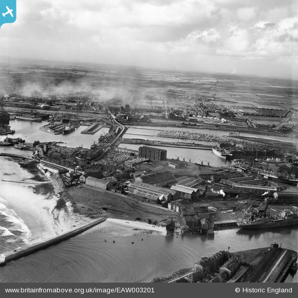
EAW003201 ENGLAND (1946). The Hartlepool Engine Works and the surrounding docks, Hartlepool, from the east, 1946
© Copyright OpenStreetMap contributors and licensed by the OpenStreetMap Foundation. 2026. Cartography is licensed as CC BY-SA.
Nearby Images (21)
EAW003201

EAW003204

EPW054631

EPW054630

EAW003194

EAW003187

EPW054577

EAW003197

EAW003198

EPW054634

EPW054635

EAW007973

EAW003193

EAW003203

EAW003195

EAW003190

EPW054633

EAW003200

EAW003188

EAW003199

EPW054636

Details
| Title | [EAW003201] The Hartlepool Engine Works and the surrounding docks, Hartlepool, from the east, 1946 |
| Reference | EAW003201 |
| Date | 23-October-1946 |
| Link | |
| Place name | HARTLEPOOL |
| Parish | |
| District | |
| Country | ENGLAND |
| Easting / Northing | 452183, 533640 |
| Longitude / Latitude | -1.1902826451764, 54.694979230586 |
| National Grid Reference | NZ522336 |
Pins

redmist |
Friday 30th of September 2022 02:42:51 PM | |
|
redmist |
Tuesday 22nd of September 2020 11:07:38 PM | |
|
redmist |
Tuesday 22nd of September 2020 11:07:09 PM | |

Sparky |
Saturday 10th of August 2019 08:28:14 PM |