
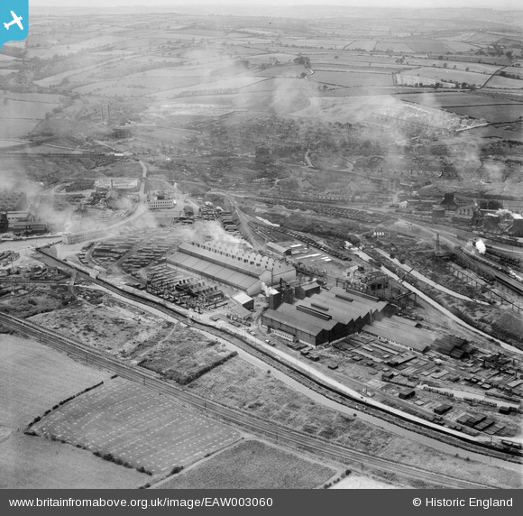
EAW003060 ENGLAND (1946). The Staveley Iron Works and environs, Staveley, 1946
© Copyright OpenStreetMap contributors and licensed by the OpenStreetMap Foundation. 2026. Cartography is licensed as CC BY-SA.
Nearby Images (13)
EAW003060

EAW044345

EAW043845

EAW006280

EAW006282

EPW041677

EPW057343

EAW043846

EAW006281

EPW057351

EAW006283

EPW057337

EAW003061

Details
| Title | [EAW003060] The Staveley Iron Works and environs, Staveley, 1946 |
| Reference | EAW003060 |
| Date | 8-October-1946 |
| Link | |
| Place name | STAVELEY |
| Parish | STAVELEY |
| District | |
| Country | ENGLAND |
| Easting / Northing | 441853, 374807 |
| Longitude / Latitude | -1.3723942264893, 53.268324473457 |
| National Grid Reference | SK419748 |
Pins
Be the first to add a comment to this image!