
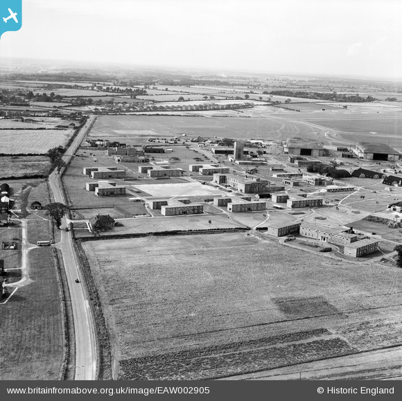
EAW002905 ENGLAND (1946). RAF Horsham St Faith, Norwich, from the east, 1946
© Copyright OpenStreetMap contributors and licensed by the OpenStreetMap Foundation. 2026. Cartography is licensed as CC BY-SA.
Nearby Images (12)
EAW002905

EAW001957

EAW001958

EAW001963

EAW002909

EAW001962

EAW002900
, Norwich, 1946")
EAW002907

EAW002908

EAW001956

EAW002904

EAW001955

Details
| Title | [EAW002905] RAF Horsham St Faith, Norwich, from the east, 1946 |
| Reference | EAW002905 |
| Date | 1-October-1946 |
| Link | |
| Place name | NORWICH |
| Parish | |
| District | |
| Country | ENGLAND |
| Easting / Northing | 622463, 312555 |
| Longitude / Latitude | 1.2902448426545, 52.664632941705 |
| National Grid Reference | TG225126 |
Pins
Be the first to add a comment to this image!