
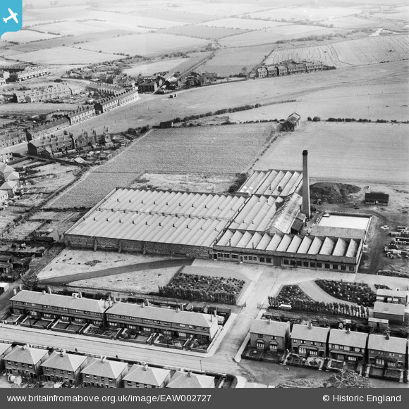
EAW002727 ENGLAND (1946). The Makerfield Cotton Weaving Mill, Ashton-in-Makerfield, 1946
© Copyright OpenStreetMap contributors and licensed by the OpenStreetMap Foundation. 2025. Cartography is licensed as CC BY-SA.
Nearby Images (10)
EAW002727

EAW002724

EAW002726

EAW002720

EAW002725

EAW002719

EAW002723

EAW002728

EAW002721

EAW002722

Details
| Title | [EAW002727] The Makerfield Cotton Weaving Mill, Ashton-in-Makerfield, 1946 |
| Reference | EAW002727 |
| Date | 12-September-1946 |
| Link | |
| Place name | ASHTON-IN-MAKERFIELD |
| Parish | |
| District | |
| Country | ENGLAND |
| Easting / Northing | 358072, 398680 |
| Longitude / Latitude | -2.6318989079966, 53.482915450327 |
| National Grid Reference | SJ581987 |
Pins
Be the first to add a comment to this image!