
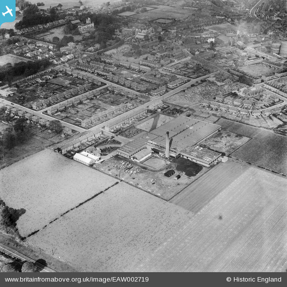
EAW002719 ENGLAND (1946). The Makerfield Cotton Weaving Mill, Ashton-in-Makerfield, 1946
© Copyright OpenStreetMap contributors and licensed by the OpenStreetMap Foundation. 2025. Cartography is licensed as CC BY-SA.
Nearby Images (10)
EAW002719

EAW002725

EAW002720

EAW002723

EAW002724

EAW002727

EAW002728

EAW002721

EAW002726

EAW002722

Details
| Title | [EAW002719] The Makerfield Cotton Weaving Mill, Ashton-in-Makerfield, 1946 |
| Reference | EAW002719 |
| Date | 12-September-1946 |
| Link | |
| Place name | ASHTON-IN-MAKERFIELD |
| Parish | |
| District | |
| Country | ENGLAND |
| Easting / Northing | 358026, 398636 |
| Longitude / Latitude | -2.6325862459734, 53.482516269836 |
| National Grid Reference | SJ580986 |
Pins

redmist |
Saturday 15th of October 2022 11:18:43 AM | |
|
redmist |
Saturday 15th of October 2022 11:18:20 AM | |
|
redmist |
Saturday 15th of October 2022 11:17:59 AM | |
|
redmist |
Saturday 15th of October 2022 11:17:22 AM | |
|
redmist |
Saturday 15th of October 2022 11:17:06 AM | |

Sparky |
Saturday 16th of September 2017 08:58:02 PM | |
|
Karen |
Wednesday 29th of July 2015 10:57:33 PM | |
|
Karen |
Wednesday 29th of July 2015 10:56:25 PM | |
|
Karen |
Wednesday 29th of July 2015 10:55:28 PM | |
|
Karen |
Wednesday 29th of July 2015 10:54:16 PM | |
|
Karen |
Wednesday 29th of July 2015 10:53:29 PM | |
|
Karen |
Wednesday 29th of July 2015 10:52:23 PM | |
|
Karen |
Wednesday 29th of July 2015 10:51:27 PM | |
|
Karen |
Wednesday 29th of July 2015 10:49:39 PM |
User Comment Contributions
Has anybody got any more aerial images of the cotton mills in Ashton in Makerfield? Also, can anybody help me in naming the road that this mill (the Makerfield Cotton Weaving Mill) was on? I'm fairly young and struggling to imagine what Ashton was like so long ago. Thanks |
Becky |
Saturday 8th of August 2015 04:08:30 AM |
on Windsor Road Becky ... at bottom end of Park View if you go to this other picture:- http://www.britainfromabove.org.uk/image/eaw002722 and zoom in just to the right of the 2 huge gas reservoirs you'll see the Record Mill on Princess road, originally a cotton mill, then later used by Crompton's |
John AinM |
Saturday 8th of August 2015 04:08:30 AM |