
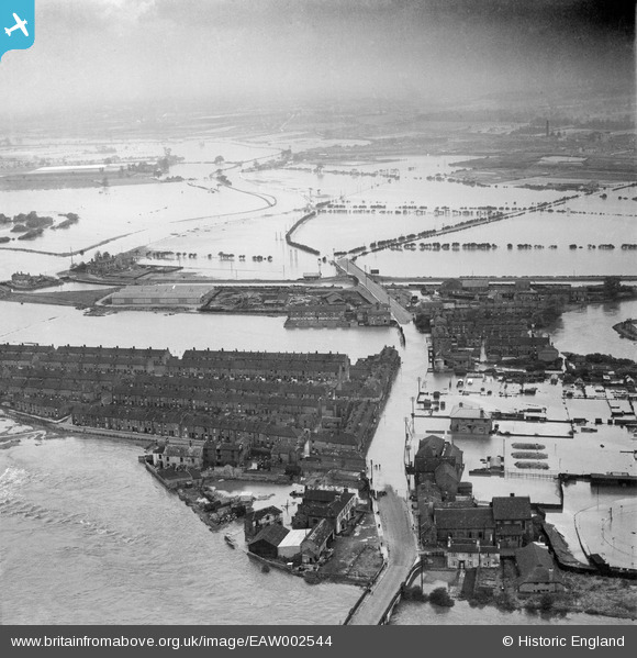
EAW002544 ENGLAND (1946). A large area of flooding centred upon Lock Lane, Castleford, from the south-east, 1946
© Copyright OpenStreetMap contributors and licensed by the OpenStreetMap Foundation. 2025. Cartography is licensed as CC BY-SA.
Nearby Images (6)
EAW002544

EAW002533

EAW002538A

EAW002534

EAW002542

EAW002540

Details
| Title | [EAW002544] A large area of flooding centred upon Lock Lane, Castleford, from the south-east, 1946 |
| Reference | EAW002544 |
| Date | 21-September-1946 |
| Link | |
| Place name | CASTLEFORD |
| Parish | |
| District | |
| Country | ENGLAND |
| Easting / Northing | 442871, 426124 |
| Longitude / Latitude | -1.3501137812424, 53.729526074152 |
| National Grid Reference | SE429261 |
Pins
Be the first to add a comment to this image!