
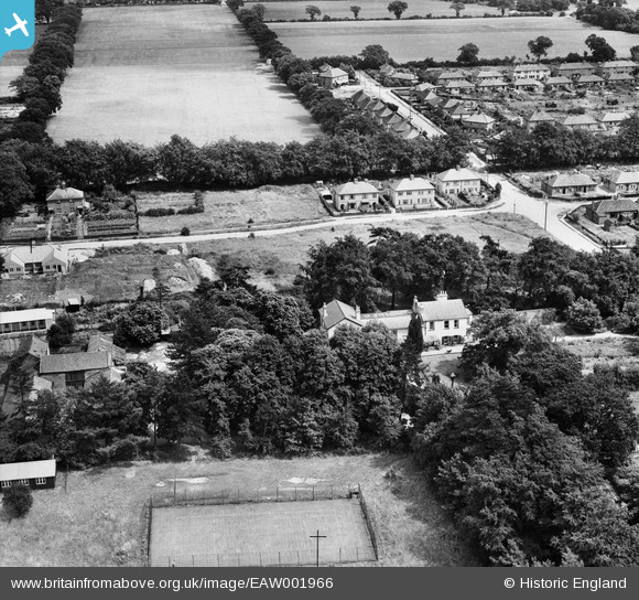
EAW001966 ENGLAND (1946). The Cottage Public House and environs, Thorpe St Andrew, 1946
© Copyright OpenStreetMap contributors and licensed by the OpenStreetMap Foundation. 2026. Cartography is licensed as CC BY-SA.
Nearby Images (8)
EAW001966

EAW001968

EAW001967

EAW001970

EAW001969

EAW001965

EAW001964

EAW001971

Details
| Title | [EAW001966] The Cottage Public House and environs, Thorpe St Andrew, 1946 |
| Reference | EAW001966 |
| Date | 25-July-1946 |
| Link | |
| Place name | THORPE ST ANDREW |
| Parish | THORPE ST. ANDREW |
| District | |
| Country | ENGLAND |
| Easting / Northing | 626455, 309755 |
| Longitude / Latitude | 1.3472562016192, 52.637849372895 |
| National Grid Reference | TG265098 |
