
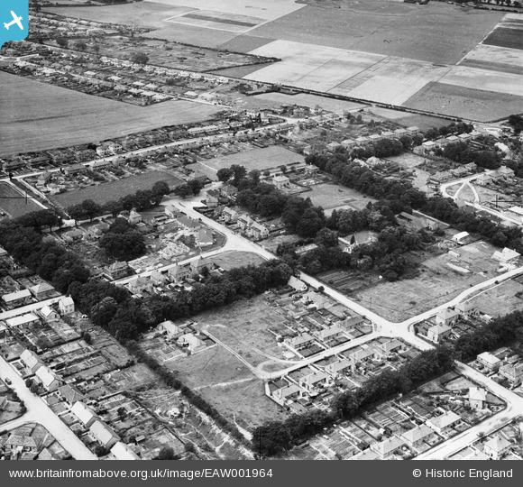
EAW001964 ENGLAND (1946). Spinney Road and environs, Thorpe St Andrew, 1946
© Copyright OpenStreetMap contributors and licensed by the OpenStreetMap Foundation. 2026. Cartography is licensed as CC BY-SA.
Nearby Images (8)
EAW001964

EAW001967

EAW001968

EAW001966

EAW001969

EAW001965

EAW001970

EAW001971

Details
| Title | [EAW001964] Spinney Road and environs, Thorpe St Andrew, 1946 |
| Reference | EAW001964 |
| Date | 25-July-1946 |
| Link | |
| Place name | THORPE ST ANDREW |
| Parish | THORPE ST. ANDREW |
| District | |
| Country | ENGLAND |
| Easting / Northing | 626386, 309697 |
| Longitude / Latitude | 1.3461984315048, 52.637357583249 |
| National Grid Reference | TG264097 |
Pins

SteveCBR |
Thursday 28th of March 2024 11:42:38 AM | |
|
SteveCBR |
Thursday 28th of March 2024 11:41:58 AM | |

Matt Aldred edob.mattaldred.com |
Saturday 19th of March 2022 06:29:38 PM |