
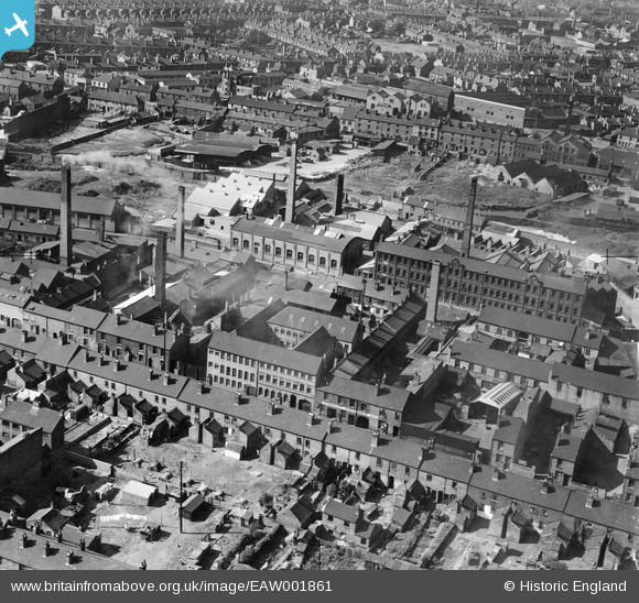
EAW001861 ENGLAND (1946). The Patterson and Stone Warehouse and the surrounding industrial area, Walsall, 1946
© Copyright OpenStreetMap contributors and licensed by the OpenStreetMap Foundation. 2026. Cartography is licensed as CC BY-SA.
Nearby Images (13)
EAW001861

EAW001860

EAW001859

EAW001858

EAW001862

EAW001854

EAW001855

EAW001853

EAW001857

EAW001856

EPW005671

EAW039989

EPW024711

Details
| Title | [EAW001861] The Patterson and Stone Warehouse and the surrounding industrial area, Walsall, 1946 |
| Reference | EAW001861 |
| Date | 12-July-1946 |
| Link | |
| Place name | WALSALL |
| Parish | |
| District | |
| Country | ENGLAND |
| Easting / Northing | 400845, 298544 |
| Longitude / Latitude | -1.9875270433038, 52.584345969226 |
| National Grid Reference | SP008985 |
Pins

Sparky |
Tuesday 19th of September 2017 09:53:22 PM | |

kevofbrum |
Sunday 3rd of July 2016 05:08:55 PM | |
|
kevofbrum |
Sunday 3rd of July 2016 05:07:57 PM | |
|
kevofbrum |
Sunday 3rd of July 2016 05:07:02 PM | |
|
kevofbrum |
Sunday 3rd of July 2016 05:06:25 PM | |
|
kevofbrum |
Sunday 3rd of July 2016 05:06:07 PM | |
|
kevofbrum |
Sunday 3rd of July 2016 05:05:45 PM |