
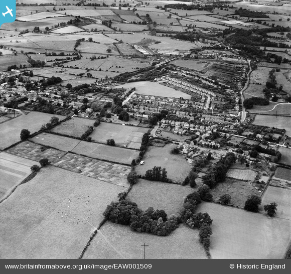
EAW001509 ENGLAND (1946). Mulberry Green and environs, Harlow, 1946
© Copyright OpenStreetMap contributors and licensed by the OpenStreetMap Foundation. 2026. Cartography is licensed as CC BY-SA.
Nearby Images (4)
EAW001509

EPW028423

EAW043602

EAW001510

Details
| Title | [EAW001509] Mulberry Green and environs, Harlow, 1946 |
| Reference | EAW001509 |
| Date | 5-July-1946 |
| Link | |
| Place name | HARLOW |
| Parish | |
| District | |
| Country | ENGLAND |
| Easting / Northing | 547595, 211558 |
| Longitude / Latitude | 0.13992601514662, 51.782740445171 |
| National Grid Reference | TL476116 |
