
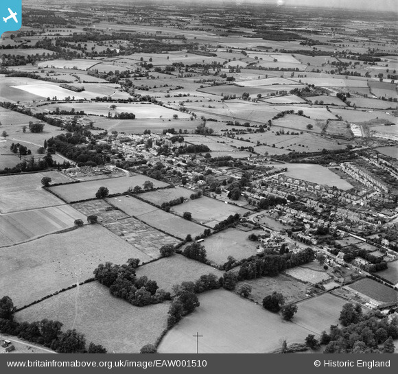
EAW001510 ENGLAND (1946). The village, Harlow, from the south-east, 1946
© Copyright OpenStreetMap contributors and licensed by the OpenStreetMap Foundation. 2026. Cartography is licensed as CC BY-SA.
Nearby Images (2)
EAW001510

EAW001509

Details
| Title | [EAW001510] The village, Harlow, from the south-east, 1946 |
| Reference | EAW001510 |
| Date | 5-July-1946 |
| Link | |
| Place name | HARLOW |
| Parish | |
| District | |
| Country | ENGLAND |
| Easting / Northing | 547758, 211351 |
| Longitude / Latitude | 0.14219937738726, 51.780837364693 |
| National Grid Reference | TL478114 |
Pins
Be the first to add a comment to this image!