
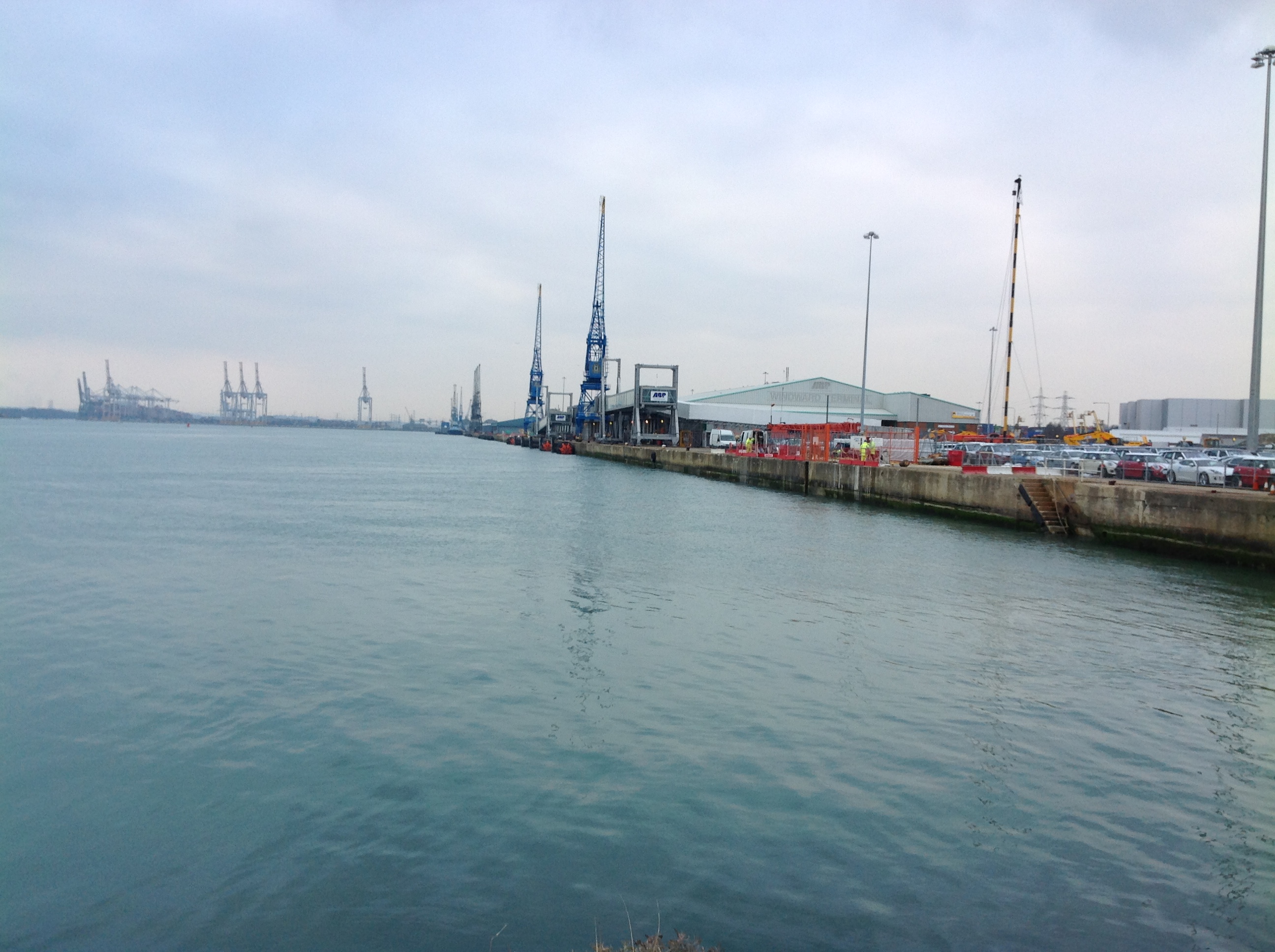
EAW001338 ENGLAND (1946). The New Docks (Western Docks), Southampton, 1946

© Copyright OpenStreetMap contributors and licensed by the OpenStreetMap Foundation. 2026. Cartography is licensed as CC BY-SA.
Nearby Images (36)
EAW001338
, Southampton, 1946")
EAW001344
, Southampton, from the south, 1946")
EAW020013

EAW035617

EAW020015

EAW035618

EAW035621

EAW035615

EAW035623

EAW035619

EAW020019

EAW004217

EAW001337
, Southampton, from the south-east, 1946")
EAW002825
 and RMS Queen Elizabeth at the New Docks (Western Docks), Southampton, from the south, 1946")
EAW022292
, Southampton, 1949")
EAW035620

EAW035622

EAW035625

EAW004215

EAW020012

EAW020021

EAW020018

EPW032349
 under construction, Southampton, from the west, 1930. This image has been produced from a copy-negative.")
EAW004220

EAW004218

EAW004221

EAW004214

EAW004216

EAW035616

EAW035624

EPW032347

EAW022291
, Southampton, 1949")
EAW004213

EAW004219

EAW020014

EAW001339
, Southampton, from the south-east, 1946")
Details
| Title | [EAW001338] The New Docks (Western Docks), Southampton, 1946 |
| Reference | EAW001338 |
| Date | 28-June-1946 |
| Link | |
| Place name | SOUTHAMPTON |
| Parish | |
| District | |
| Country | ENGLAND |
| Easting / Northing | 440844, 111541 |
| Longitude / Latitude | -1.4190977403952, 50.901345336579 |
| National Grid Reference | SU408115 |
Pins

Matt Aldred edob.mattaldred.com |
Sunday 20th of July 2025 10:43:45 AM | |
|
Matt Aldred edob.mattaldred.com |
Sunday 20th of July 2025 10:43:33 AM | |

redmist |
Wednesday 21st of December 2022 01:09:14 PM | |
|
redmist |
Wednesday 21st of December 2022 12:56:29 PM | |
|
redmist |
Wednesday 21st of December 2022 12:55:40 PM | |
|
redmist |
Monday 5th of December 2022 08:58:14 PM | |
|
redmist |
Monday 5th of December 2022 08:49:09 PM | |
|
redmist |
Monday 5th of December 2022 08:45:46 PM | |

Lee |
Friday 17th of March 2017 02:46:31 AM | |
|
ken |
Thursday 16th of July 2015 09:53:48 PM |
User Comment Contributions
Western Docks, Southampton, 12/02/2015 |

Class31 |
Thursday 12th of February 2015 08:39:08 PM |