
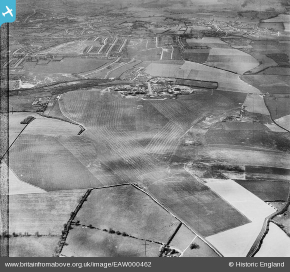
EAW000462 ENGLAND (1946). Luton Airport and environs, Luton, from the south-east, 1946
© Copyright OpenStreetMap contributors and licensed by the OpenStreetMap Foundation. 2026. Cartography is licensed as CC BY-SA.
Nearby Images (4)
EAW000462

EAW000461

EAW000607

EAW000460

Details
| Title | [EAW000462] Luton Airport and environs, Luton, from the south-east, 1946 |
| Reference | EAW000462 |
| Date | 3-May-1946 |
| Link | |
| Place name | LUTON |
| Parish | |
| District | |
| Country | ENGLAND |
| Easting / Northing | 512606, 220787 |
| Longitude / Latitude | -0.36410633325144, 51.873831344343 |
| National Grid Reference | TL126208 |
Pins
Be the first to add a comment to this image!