
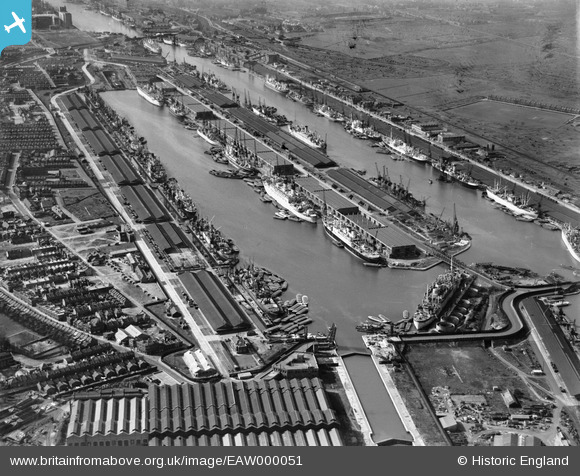
EAW000051 ENGLAND (1946). The King George V Dock and the Royal Albert Dock, Beckton, 1946
© Copyright OpenStreetMap contributors and licensed by the OpenStreetMap Foundation. 2026. Cartography is licensed as CC BY-SA.
Nearby Images (27)
EAW000051

EAW049351

EAW008726

EAW000050

EAW000058

EAW000054

EAW000057

EAW005289

EAW022357

EPW032935

EAW008722

EAW000055

EPW032936

EPW008885

EAW005290

EAW021703

EPW010727

EPW008887

EPW021370

EAW008725

EAW008723

EAW014133

EPW032937

EAW008724

EAW008727

EAW008740

EAW022360

Details
| Title | [EAW000051] The King George V Dock and the Royal Albert Dock, Beckton, 1946 |
| Reference | EAW000051 |
| Date | 31-March-1946 |
| Link | |
| Place name | BECKTON |
| Parish | |
| District | |
| Country | ENGLAND |
| Easting / Northing | 543346, 180343 |
| Longitude / Latitude | 0.065574542002202, 51.503334698106 |
| National Grid Reference | TQ433803 |
Pins

redmist |
Saturday 4th of July 2020 11:48:25 PM | |
|
redmist |
Tuesday 30th of June 2020 08:09:17 PM | |
|
redmist |
Tuesday 30th of June 2020 08:08:39 PM | |
|
redmist |
Tuesday 30th of June 2020 07:44:18 PM | |
|
redmist |
Saturday 27th of June 2020 09:43:41 PM | |

Sparky |
Tuesday 31st of October 2017 11:49:46 PM | |
|
Sparky |
Tuesday 31st of October 2017 11:47:46 PM |