Skip to main content
Britain from Above
Cymraeg
|
English
Login
|
Register
Toggle navigation
Home
Legacy
About
Map
Galleries
Groups
Help
Search
All Countries (96344)
England (82521)
Scotland (6398)
Wales (4321)
Rest of World (3104)
Belgium (7)
France (27)
Germany (2)
Guernsey (116)
Iran (8)
Iraq (6)
Ireland (1466)
Isle of Man (75)
Jersey (122)
Netherlands (20)
Northern Ireland (1163)
Spain (9)
Switzerland (26)
Stormy78's profile
Latest Activity
Saved Images
first
previous
1
2
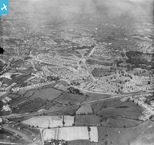
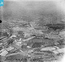
[EPW038522] Wolverhampton Road and new housing estates surrounding Norman Road and Warley Park, Warley Woods, 1932
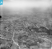
[EPW038523A] New housing estates off Perry Hill Road and Warley Park, Warley Woods, from the west, 1932. This image has been affected by flare.
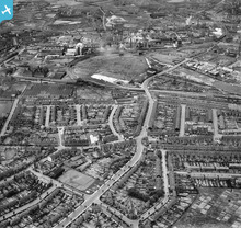
[EAW001206] The industrial and residential area surrounding Tat Bank Road and Mushroom Hall Road, Rood End, 1946
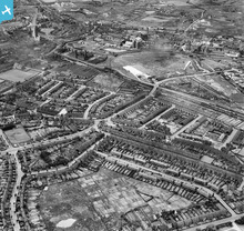
[EAW001207] The industrial and residential area surrounding Tat Bank Road and Apollo Road, Rood End, 1946
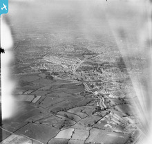
[EPW038524] Wolverhampton Road and new housing estates surrounding Norman Road and Warley Park, Warley Woods, from the west, 1932
[EPW038523] New housing estates surrounding Clent Road, Warley Hall Road and Warley Park, Warley Woods, from the south, 1932
first
previous
1
2
This user has had no activity in the last year.