
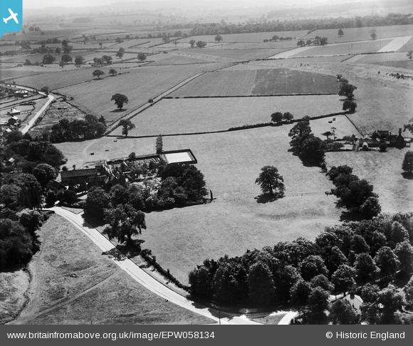
EPW058134 ENGLAND (1938). Wellow House and surrounding countryside, Wellow, from the north, 1938
© Copyright OpenStreetMap contributors and licensed by the OpenStreetMap Foundation. 2024. Cartography is licensed as CC BY-SA.
Nearby Images (9)
EPW058134

EPW058132

EPW058133

EPW058136

EPW058138

EPW058139

EPW058137

EPW058140

EPW058142

Details
| Title | [EPW058134] Wellow House and surrounding countryside, Wellow, from the north, 1938 |
| Reference | EPW058134 |
| Date | 19-July-1938 |
| Link | |
| Place name | WELLOW |
| Parish | WELLOW |
| District | |
| Country | ENGLAND |
| Easting / Northing | 466745, 366035 |
| Longitude / Latitude | -1.0010144000699, 53.186928835994 |
| National Grid Reference | SK667660 |


