
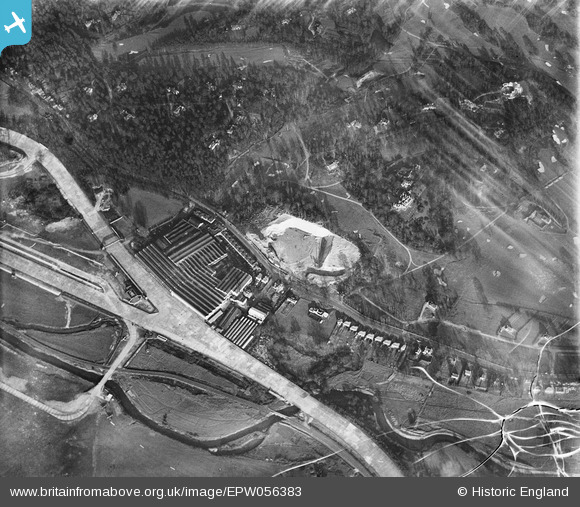
EPW056383 ENGLAND (1938). Vickers (Aviation) Ltd Works, Brooklands, 1938. This image has been produced from a damaged negative.
© Copyright OpenStreetMap contributors and licensed by the OpenStreetMap Foundation. 2025. Cartography is licensed as CC BY-SA.
Nearby Images (18)
EPW056383
 Ltd Works, Brooklands, 1938. This image has been produced from a damaged negative.")
EPW056382
 Ltd Works, Brooklands, 1938. This image has been produced from a damaged negative.")
EPW056384
 Ltd Works, Brooklands, 1938. This image has been produced from a damaged negative.")
EPW056381
 Ltd Works, Brooklands, 1938. This image has been produced from a damaged negative.")
EPW056385
 Ltd Works, Brooklands, 1938. This image has been produced from a damaged negative.")
EPW056379
 Ltd Works, Brooklands, 1938. This image has been produced from a damaged negative.")
EPW056380
 Ltd Works, Brooklands, 1938. This image has been produced from a copy-negative.")
EPW056375
 Ltd Works, Brooklands, 1938")
EPW056386
 Ltd Works, Brooklands, 1938. This image has been produced from a damaged negative.")
EPW056378
 Ltd Works, Brooklands, 1938")
EPW016860

EPW056374
 Ltd Works, Brooklands, 1938")
EPW056377
 Ltd Works, Brooklands, 1938")
EPW060343

EPW060346

EPW060342

EPW060345

EPW056376
 Ltd Works, Brooklands, from the north-west, 1938")
Details
| Title | [EPW056383] Vickers (Aviation) Ltd Works, Brooklands, 1938. This image has been produced from a damaged negative. |
| Reference | EPW056383 |
| Date | 2-March-1938 |
| Link | |
| Place name | BROOKLANDS |
| Parish | |
| District | |
| Country | ENGLAND |
| Easting / Northing | 507300, 162076 |
| Longitude / Latitude | -0.4591348416455, 51.34712182929 |
| National Grid Reference | TQ073621 |
Pins
 Class31 |
Wednesday 26th of February 2014 11:40:57 AM |