
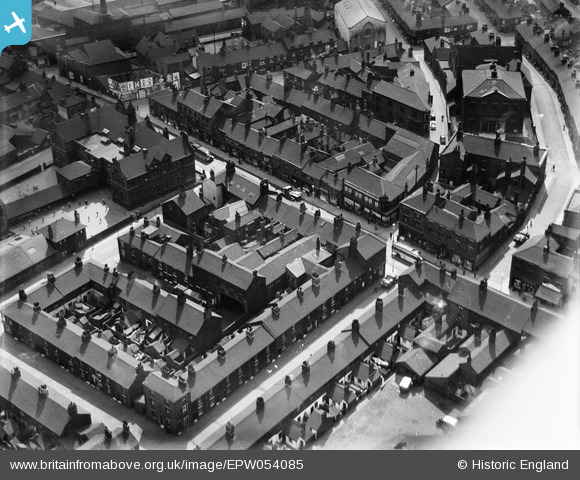
EPW054085 ENGLAND (1937). The High Street by High Street School, Tunstall, 1937
© Copyright OpenStreetMap contributors and licensed by the OpenStreetMap Foundation. 2025. Cartography is licensed as CC BY-SA.
Nearby Images (37)
EPW054085

EPW054087

EPW028018

EPW054084

EPW054091

EAW036121
, Tunstall, 1951. This image has been produced from a print marked by Aerofilms Ltd for photo editing.")
EAW028358

EAW036119
, Tunstall, 1951. This image has been produced from a print marked by Aerofilms Ltd for photo editing.")
EAW036115
, Tunstall, 1951. This image has been produced from a print marked by Aerofilms Ltd for photo editing.")
EAW036116
, Tunstall, 1951. This image has been produced from a print marked by Aerofilms Ltd for photo editing.")
EAW036114
, Tunstall, 1951. This image has been produced from a print marked by Aerofilms Ltd for photo editing.")
EAW036120
, Tunstall, 1951. This image has been produced from a print marked by Aerofilms Ltd for photo editing.")
EAW028355
, Tunstall, 1950. This image has been produced from a damaged negative.")
EAW036118
, Tunstall, 1951. This image has been produced from a print marked by Aerofilms Ltd for photo editing.")
EAW036117
, Tunstall, 1951. This image has been produced from a print marked by Aerofilms Ltd for photo editing.")
EAW027950

EAW028359

EPW017310

EPW017311

EPW047610

EPW047612

EPW017312

EPW017315

EPW054090

EPW017313

EAW027953

EAW027954

EAW027951

EPW047609

EAW028354
, Tunstall, 1950. This image has been produced from a damaged negative.")
EPW047613

EPW017314

EPW047611

EAW028357

EPW047615

EAW027949

EAW028356

Details
| Title | [EPW054085] The High Street by High Street School, Tunstall, 1937 |
| Reference | EPW054085 |
| Date | 7-July-1937 |
| Link | |
| Place name | TUNSTALL |
| Parish | |
| District | |
| Country | ENGLAND |
| Easting / Northing | 386020, 351119 |
| Longitude / Latitude | -2.2086078035764, 53.056838756856 |
| National Grid Reference | SJ860511 |
Pins
Be the first to add a comment to this image!