
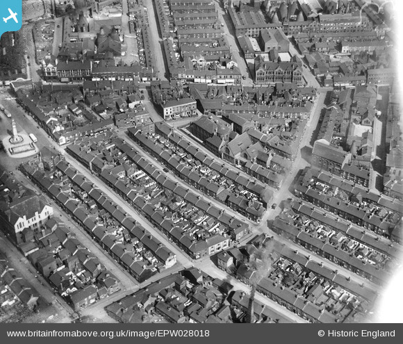
EPW028018 ENGLAND (1929). Sneyd Street and environs, Tunstall, 1929
© Copyright OpenStreetMap contributors and licensed by the OpenStreetMap Foundation. 2024. Cartography is licensed as CC BY-SA.
Nearby Images (8)
EPW028018

EPW054085

EPW054084

EPW054087

EPW054091

EPW054090

EPW054083

EPW054086

Details
| Title | [EPW028018] Sneyd Street and environs, Tunstall, 1929 |
| Reference | EPW028018 |
| Date | July-1929 |
| Link | |
| Place name | TUNSTALL |
| Parish | |
| District | |
| Country | ENGLAND |
| Easting / Northing | 385907, 351139 |
| Longitude / Latitude | -2.2102948384646, 53.057015590186 |
| National Grid Reference | SJ859511 |
Pins
Be the first to add a comment to this image!


