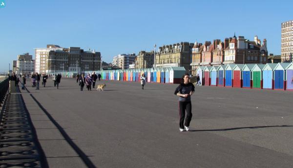
EPW054043 ENGLAND (1937). Courtenay Gate and the town, Brighton, from the south-east, 1937

© Copyright OpenStreetMap contributors and licensed by the OpenStreetMap Foundation. 2024. Cartography is licensed as CC BY-SA.
Nearby Images (6)
EPW054043

EPW000243

EPW012371

EPW039531

EPW041364

EAW022687

Details
| Title | [EPW054043] Courtenay Gate and the town, Brighton, from the south-east, 1937 |
| Reference | EPW054043 |
| Date | June-1937 |
| Link | |
| Place name | BRIGHTON |
| Parish | |
| District | |
| Country | ENGLAND |
| Easting / Northing | 528814, 104331 |
| Longitude / Latitude | -0.17093540372557, 50.823610667282 |
| National Grid Reference | TQ288043 |
Pins
 Alan McFaden |
Friday 15th of November 2013 05:23:03 PM | |
Alan McFaden |
Friday 15th of November 2013 05:22:29 PM |