
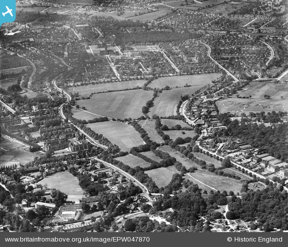
EPW047870 ENGLAND (1935). The Hampstead Heath Extension, Hampstead Garden Suburb, from the south, 1935
© Copyright OpenStreetMap contributors and licensed by the OpenStreetMap Foundation. 2024. Cartography is licensed as CC BY-SA.
Nearby Images (5)
EPW047870

EPW047871

EPW028179

EPW028980

EPW015732

Details
| Title | [EPW047870] The Hampstead Heath Extension, Hampstead Garden Suburb, from the south, 1935 |
| Reference | EPW047870 |
| Date | June-1935 |
| Link | |
| Place name | HAMPSTEAD GARDEN SUBURB |
| Parish | |
| District | |
| Country | ENGLAND |
| Easting / Northing | 526049, 187338 |
| Longitude / Latitude | -0.18102089864825, 51.570328571719 |
| National Grid Reference | TQ260873 |
Pins
Be the first to add a comment to this image!