
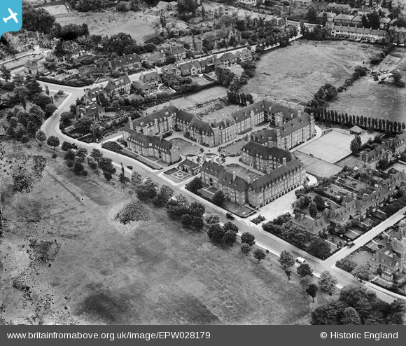
EPW028179 ENGLAND (1929). Heathcroft, Hampstead Garden Suburb, 1929
© Copyright OpenStreetMap contributors and licensed by the OpenStreetMap Foundation. 2024. Cartography is licensed as CC BY-SA.
Nearby Images (4)
EPW028179

EPW028980

EPW015732

EPW047870

Details
| Title | [EPW028179] Heathcroft, Hampstead Garden Suburb, 1929 |
| Reference | EPW028179 |
| Date | July-1929 |
| Link | |
| Place name | HAMPSTEAD GARDEN SUBURB |
| Parish | |
| District | |
| Country | ENGLAND |
| Easting / Northing | 525845, 187479 |
| Longitude / Latitude | -0.18391266141526, 51.57164144029 |
| National Grid Reference | TQ258875 |
Pins
Be the first to add a comment to this image!