
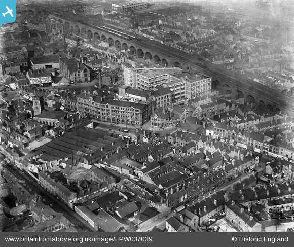
EPW037039 ENGLAND (1931). The Devonshire Works, railway viaduct and environs, Deritend, 1931
© Copyright OpenStreetMap contributors and licensed by the OpenStreetMap Foundation. 2025. Cartography is licensed as CC BY-SA.
Nearby Images (15)
EPW037039

EPW037035

EPW037040

EPW037037

EPW037036

EPW037038

EPW005841

EPW050089

EPW050088

EPW050371

EPW053097

EPW050087

EPW050372

EPW050370

EPW050091

Details
| Title | [EPW037039] The Devonshire Works, railway viaduct and environs, Deritend, 1931 |
| Reference | EPW037039 |
| Date | 17-October-1931 |
| Link | |
| Place name | DERITEND |
| Parish | |
| District | |
| Country | ENGLAND |
| Easting / Northing | 407963, 286327 |
| Longitude / Latitude | -1.8827520067355, 52.474446307783 |
| National Grid Reference | SP080863 |
Pins
Be the first to add a comment to this image!